Explore other sample Map Diagrams

IELTS Writing Task 1 Map : Plan A & B shows a Health Centre in 2005 and in Present Day
In IELTS Academic Writing Task 1, there will be a visual representation like ‘IELTS Writing Task 1 Map : Plan A & B shows a Health Centre in 2005 and in Present Day’ on which you must write a report. Remember that maps or diagrams are a description task that will come across in the question for Writing Task 1. For this question type, you must briefly describe a presented map or diagram for which you need to begin by analyzing the question and identifying the main features of the diagram. It is important to draft an introduction, followed by...

9 min read
Updated On

IELTS Writing Task 1 Map : Steadily Increased population in Chorleywood near London
The IELTS Academic Writing Task 1 consists of various question types, one of which is the map questions. Typically, in this task, you need to outline important details and analyze the comparisons of the question given such as this topic on, 'IELTS Writing Task 1 Map : Steadily Increased population in Chorleywood near London'. You will first learn the necessary strategies to approach such questions in order to score a higher band of 8+. Remember that the data should be summarized in terms of main trends, developments, and any notable features of changes. Therefore, sharpen your skills in describing, analyzing,...
6 min read
Updated On

IELTS Writing Task 1 Map : Site of an Airport
In IELTS Academic Writing Task 1, there will be different question types with visual representation on which you have to write a report about. With the IELTS Writing Task 1 Map : Site of an Airport, you will be able to learn how to attempt such questions with ease to achieve a higher band scores. In response to this task, you would typically be required to write a report summarizing the key information and making comparisons between the current and future states of the airport. It is important to highlight the main trends, significant changes, and any notable features depicted in...
7 min read
Updated On

The Maps Below Show the Village of Stokeford in 1930 and 2010 - IELTS Writing Task 1
In the Writing Task 1 of IELTS Academic, you may be asked to describe maps that depict changes over time, like in the topic, ‘The Maps Below Show the Village of Stokeford in 1930 and 2010’. This type of question assesses the ability to compare, contrast, and summarize key transformations in a geographical location. A well-structured answer for an IELTS Academic Writing Task 1 map diagram should include an introduction, an overview highlighting significant changes, and detailed comparisons in the body paragraphs. In this blog, you will find 3 such sample answers for the topic, The Maps Below Show the...
7 min read
Updated On
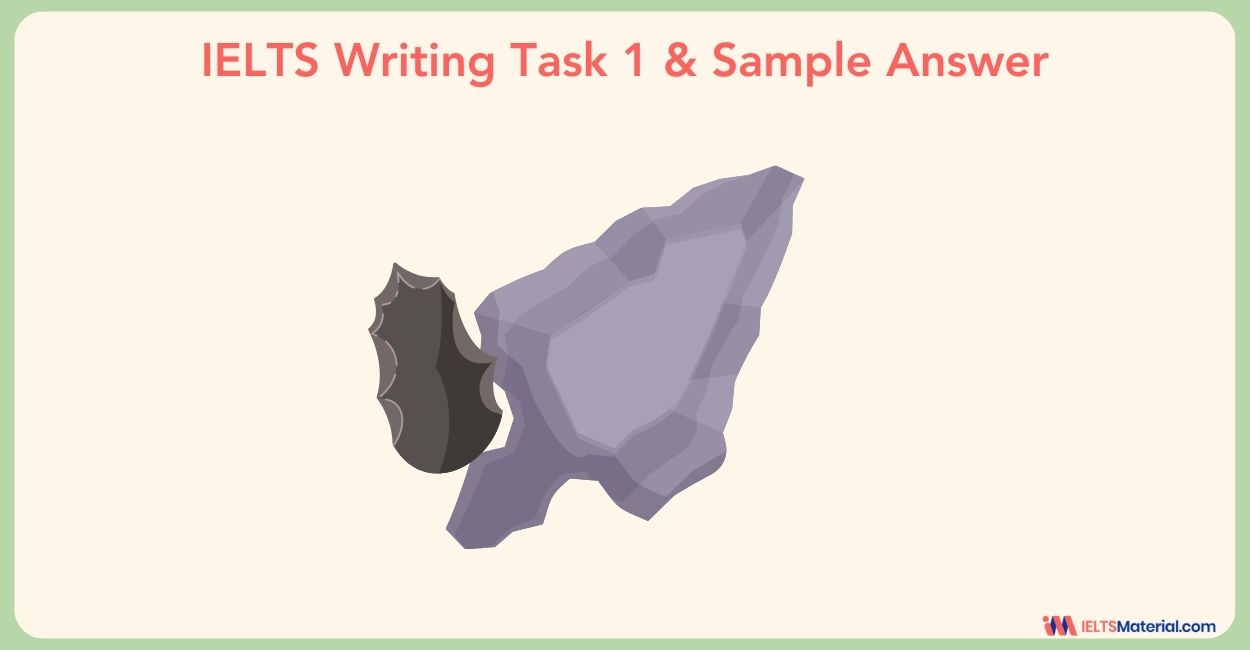
IELTS Academic Writing Task 1 Topic: The development of cutting tools in the stone age – Diagram
The diagram below shows the development of cutting tools in the stone age. One was made 1.4 million years ago, and the other was made 800 thousand years ago(viewing from back view, front view, and side view).Summarize the information by selecting and reporting the main features, and make comparisons where relevant. Report Plan Paraphrase: diagram>illustration; shows>demonstrates; Overview: The presented illustration demonstrates the cutting stone tool and how it transformed from 1.4 million years ago to 800 thousand years ago. Paragraph 2: (1) Talk about how the tool was 1.4 million years ago. Give explanation. Paragraph 3: (1) Talk about how...
2 min read
Updated On

IELTS Academic Writing Task 1 Example 10 : Changes that have taken place at West Park Secondary School – Diagram
Maps or diagrams are a description task that will come across in the IELTS. For this question type, you must describe in brief a presented map or diagram. To do so, begin by analyzing the question and identifying the main features of the diagram. Draft and introduction, followed by an overview of the main characteristics of the image. Then you may finally add the essential details. You should spend about 20 minutes on this task. The diagram shows the changes that have taken place at West Park Secondary School since its construction in 1950. Summarise the information by selecting and...
2 min read
Updated On

IELTS Academic Writing Task 1 Example 8 : Changes in an American town between 1948 and 2010 – Map
The map below shows the changes in an American town between 1948 and 2010. Summarise the information by selecting and reporting the main features and making comparisons where relevant. You should write at least 150 words. Sample Answer The given maps showcase how American towns have transformed, by showing how it appeared in two varying years – 1948 and 2010. A quick glance tells that newer buildings have developed almost everywhere, except for the southeast residential area of the town. However, the overall area has neither contracted nor expanded. To start with, it is visible that factories situated on the...
2 min read
Updated On

IELTS Academic Writing Task 1 Example 6 : Hawaiian island chain in the centre of the Pacific Ocean – Map
You should spend about 20 minutes on this task. Write at least 150 words. The diagram below gives information about the Hawaiian island chain in the centre of the Pacific Ocean. Write a report for a university lecturer describing the information shown. Sample Answer The map represents the Hawaiian island chain, it is located in the heart of the Pacific Ocean. As shown, it is formed of volcanoes and the active volcanoes are located at the south-east tip, where Hawaii is located. It also shows how the volcano eruption occurs. It is shown that the chain began to form almost...
2 min read
Updated On

IELTS Academic Writing Task 1 Example 5: Local industrial village in England called Stamdorf – Map
The maps show changes in the local industrial village in England called Stamdorf between 1985 and 2015. You should spend 20 minutes on this task. Write more than 150 words. Sample Answer These maps distinctively show us the difference in the local industrial village of Stamdorf in three decades. Overall, a huge transformation has taken place in the village. There were new buildings built in the village by 2015. There weren’t many buildings in 1985 except for small roadside inns and a factory whereas in 2015, there were a large number of buildings like the housing estate 1 and 2,...
1 min read
Updated On

